Sunday 2 February 2020
Staying safe on an Australian Road Trip
https://www.worldnomads.com/travel-safety/oceania/australia/driving-across-australia
Before starting this next section, I want to explain that although we did quite a bit of driving during our time in both Australia and New Zealand, we never really drove in the remotest outback regions for any significant length of time.
I realise that I alluded to driving dangers in remote desert locations before on this site, but to be honest driving anywhere in Australia requires a certain level of vigilance and awareness which may not be as necessary elsewhere so if you are planning a road trip down under then this section which I have adapted from the worldnomads website may be useful.
Australia's size will surprise you when you embark on your first road trip there; it certainly surprised us.
Australian towns feel so familiar and normal that you can easily forget just how foreign and alien this land really is to international voyagers.
It can take no time at all to go from safe urban surroundings to the vast wide open spaces which they call the Outback.
Fortunately for us our driving experiences in Australia were all relatively uneventful but we did find ourselves in a few pretty remote locations at various points on our trip that did make us check our petrol levels and consider what we would do if our car should break down there.
People don't ever plan to get lost or stuck in the Australian Outback but the reality is that in Australia to go from one place to another you do often need to handle a long, short or medium stretch in a section of outback.
The outback is, after all, most of the undeveloped sections of the country, of which there are rather a lot, so they can't really be avoided if you want to get from A to B by car anywhere in that wonderful, vast continent.
The worldnomads site deals with this in some detail:
"Many visitors are unprepared for the size of Australia. Maps are deceiving, and what looks like a reasonably short drive can be much longer".
When we embarked upon the first leg of our South Australia Road trip from Lyndoch to Robe, we expected the drive to take in the region of four to five hours. We based this on distance, average driving speed, petrol stops, food breaks just as we would when travelling by car in the UK or in Europe. It actually took us almost eight hours.
We did spend slightly longer than expected on one of our stops but it shouldn't have delayed our arrival to such an extent.
What we hadn't considered were Australian roads.
As worldnomads states on its website: "Road conditions in Australia are deceiving. Where you might expect a European-style motorway between major cities, you will often encounter single-lane, windy carriageways instead". That was certainly the case for us from Lyndoch to Robe.
The famous Princes Highway that we spent most of that first driving day on was like a UK B road; more of a country lane in sections than a motorway but in the UK no country lanes are as isolated and remote as this.
Of course where we drove that day was barely the outback at all. Hardcore outback drivers would find this highly amusing I'm sure but nonetheless, to us some areas we drove through felt pretty remote and the thought of our being stranded anywhere on those isolated stretches of road was unnerving to say the least.
You should note too that the maximum speed limit on Australian and New Zealand highways is 100 km an hour (hidden cameras even in remote outback areas will catch you out if you exceed that limit. We were caught once alas!)
When you're selecting a road trip hire car in Australia, always opt for a four wheel drive one if you can.
Although most car hire providers don't officially allow you to drive on unsealed roads, it often happens that the sealed highway you're travelling on, suddenly and for no reason, turns into a red, stony, lumpy, dusty unsealed road.
A four wheel drive vehicle will cope with that far better than your average sedan. We found ourselves on unsealed roads on several occasions in Yulara and in the Barossa, at least three times on our Great Ocean Road trip and once in Queensland
Please note this important tip from worldnomads: "If you have no experience with a 4WD and are renting one, make sure you know how to engage the four-wheel drive function, failure to do so has led to some pretty embarrassing "rescue" stories".
We met several Australian road trip travellers who actually prefer the unsealed roads as they tend to lead to more remote locations and more animals and interesting birds can be seen on these routes but you would need to hire from a specialist car hire firm as standard low cost hire car providers categorically forbid unsealed road driving in their cars..
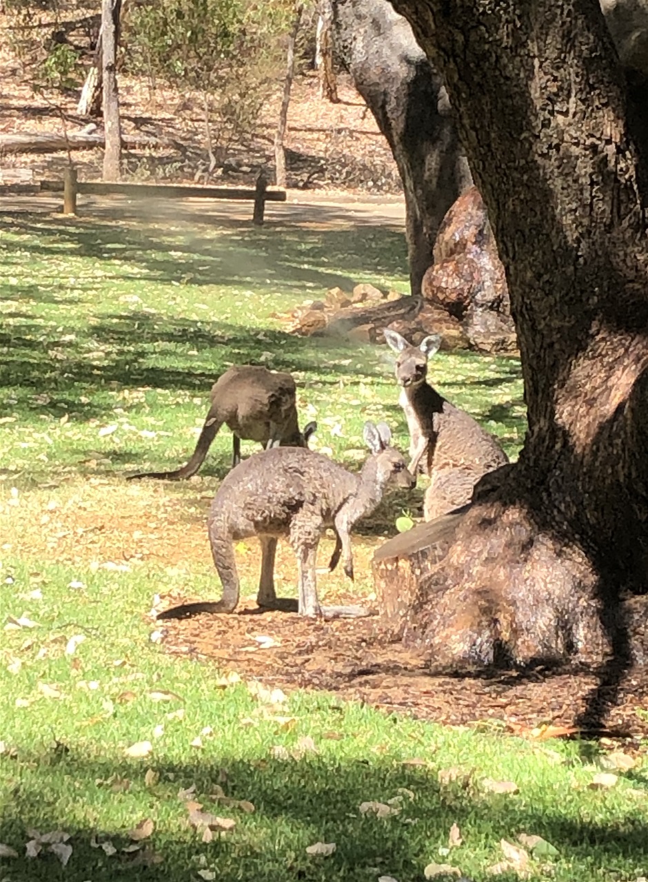
It goes without saying that if you venture into the more remote country regions (especially on unsealed roads), you run a higher risk of running into wildlife. We had to dodge kangaroos and wallabies on several occasions on our travels.
We heard quite a few driving disaster stories whilst in Australia. As I explained in an earlier entry, we heard them first in the desert in the Yulara resort but then we heard a few more in Sydney and again in Adelaide.
Driving disaster stories appear to be popular ice-breakers in pubs or at dinner parties all over the country (at least that's the impression we had when we were there).
To ensure you are not the unfortunate subjects in a future Australian driving disaster story, it may be worth adhering to a few outback driving rules.
You may decide that the usual safety measures don't apply to you as your trip will be entirely on sealed roads and you have absolutely no intention of taking any detours and ever getting lost.
Take care with that as most of the driving disaster stories we heard focused on people who had that sort of casual, nonchalant attitude and were therefore totally unprepared.
Remember all it takes in Australia to encounter disaster is to underestimate the amount of petrol in your tank.
Petrol stations are few and far between in country areas also known as the outback so you could end up getting stuck in a remote stretch of highway for several days before anyone spots you let alone rescues you and you certainly shouldn't EVER leave your car and wander off into the great isolation looking for help. Just think about how dangerous that could be.
Unlike anywhere else in the world, I can categorically state that you will meet no one in the remote Australian outback if you leave your car and you certainly won't run into a lovely little town or village where everyone lives off the land and where you will be welcomed with open arms (you only get those in films).
Much of the Australian outback hasn't even been properly discovered let alone developed.
Based on our own experience of driving in Australia not to mention the notorious driving disaster stories, sticking to the following rules could prove invaluable in the right circumstances and could even save your life:
When driving in country or desert locations always top up the petrol in your car whenever you come across a petrol station that is open. Ideally the petrol gauge should never go below the half way point.
If you are driving in remote outback locations you should consider taking a fire-proof container of petrol with you just in case.
Always, always stay with your vehicle if you break down. Road rescue teams can locate you more easily if you're with your vehicle than if you're not.
Also, if you have friends or family in Australia let them know where you are driving to and when you expect to arrive.
If you don't know anyone in the area of Australia you're driving from or to, give this information to a hotel reception or an Airbnb landlady and maybe stay in touch with them via email while you are travelling for as long as you have a phone signal.
Safety guidelines also advise drivers to ensure they have a current road map in the car at all times, even if you prefer sat nav or google maps. A road map won't die if your car does.
You should also have with you a compass, matches, fire-lighter blocks and water. Lots of water as it could take several days for someone to spot you if you're in the remotest outback regions.
Ideally you should have enough food with you for each person for a minimum of two days.
As for clothes, two changes of clothes are advised. One for the heat, one for the cold. As we discovered the previous week, Australia can throw violently hot weather at you one day but a cold, windy and rainy one the next.
A first aid kit is advised everywhere not just when driving in Australia. Just make sure it includes bandages, plasters, antiseptic cream, sunblock, and a broad-spectrum antibiotic (I always pack some amoxicillin when I travel. Most GPs in the UK will prescribe them for trips such as these).
Insect repellent is definitely a must in Australia as is paracetamol, and any medication you need to take yourselves on a regular basis.
When you pick up your hire car, ask the attendant to show you where the tools are and make sure there is a complete set in the car, especially a jack that works (get them to show you how to work it).
If you're going to the more remote Outback, they advise taking two jacks and preferably two spare tyres (before you set out, make sure your spare tires are correctly inflated); spare headlight bulbs, spare fan belt, spare fuses, and at least one big torch and a long-handled shovel.
Ask your hire car attendant if the car's radio can pick up at least one station when in a remote location so you can keep on top of changes in the weather.
For remote outback (desert) travellers a 2-way HF radio with Flying Doctor and Telstra frequencies is essential.
Mobile phone signal coverage is limited at best and generally non-existent; we lost signal quite quickly when driving in the desert, so depending on where you're going, you may want to think about renting a satellite phone
A loud whistle is useful on any trip and is so easy and cheap to buy that we brought one from home which I just put into our first aid kit so it was with us all the time.
To a non Australian driver all this sounds very over the top and unnecessary but we were amazed at how seriously Australians take this advice.
We also found Australian drivers extremely law abiding on our long distance drives. We didn't spot anyone speeding and we didn't ever witness any road rage or general unpleasantness. Surprisingly we did in New Zealand but we also did more city driving there than we did in Australia.
Obviously if you're just doing the Great Ocean road trip then you won't be dealing with desert driving so a satellite phone is unlikely to be required but if you do plan to spend several days or weeks in the remote central areas of Australia then do ensure you have at least all that is listed here in your car at all times plus a snake bite kit (just in case)!
Lyndoch to Robe
I found many travel books, sites, blogs, online diaries, journals and even novels that provided excellent advice on what to see and do on our road trip from Lyndoch to Melbourne
Whichever sites or books you turn to for planning assistance for your trip, always be prepared to be flexible.
Ultimately it is your trip so if you want to do something completely different from your advised itinerary, then go for it.
One thing I do agree with all the travel brochures and websites I read on this, is that the Adelaide (or in our case Lyndoch) to Melbourne Road trip is one of the best road trips in Australia if not the world.
We were especially lucky as our daughter and her fiancé had travelled from Adelaide to Melbourne the year before by train and bus so we had some personal recommendations which are always invaluable when you are visiting new locations.
But truth be told, I had absolutely no idea what the Great Ocean Road was and where it was, before I started planning our trip, so for anyone reading this who may be in a similar position, you should know that it is a 244km stretch of road running from Allansford, Victoria to Torquay, Victoria and when you are on it you will see some of the most beautiful coastal scenery anywhere in the world.
What is particularly poignant about the Great Ocean Road and is relatively unknown in the main, is the fact that it was built by WW1 soldiers when they returned to Australia after the war and is now a permanent memorial not only to those who built it but also to the thousands of other young men all over the world who did not return home at all.
Our journey began in South Australia as we were travelling from Lyndoch in the Barossa Valley so our first day's drive to Robe was not on the Great Ocean Road at all but through rural South Australia with a few nature reserve stops on the way.
It took us approximately 7.5 hours to drive from Lyndoch to Robe, approximately two hours more than expected including all our stops.
The two most interesting stops we had on this day were in areas called Jubilee Park and Meningie.
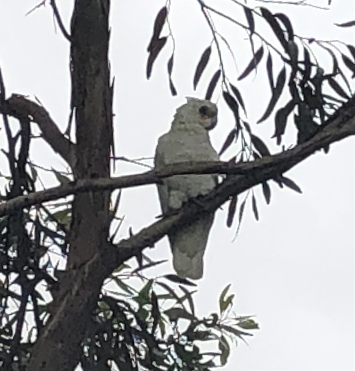
Jubilee Park was not far from where our journey started in South Australia; the only reason we stopped there at all was to check out a couple of trees on our route that appeared to be full of cockatoos, parrots and other equally exotic bird species which sadly we couldn't identify.
We had never seen so many flocks of unusual birds flying together all in one place.
It was wonderful but what we didn't know then was that this was the start of an interesting week of animal, bird and even snake watching.
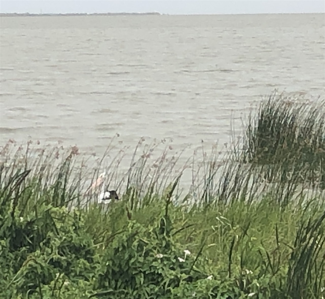
The Meningie Reserve where we stopped for our picnic lunch, is a pleasant holiday town located on the shores of Lake Albert.
It appears to be a charming holiday destination at the northern end of The Coorong.
The Coorong National Park is a protected area located about 156 kilometres southeast of Adelaide; it predominantly covers a lagoon ecosystem officially known as the Coorong and the Younghusband Peninsula on the Coorong's southern side.
Although it was cool and rainy that day, we did spot quite a few people walking, fishing and canoeing so it is clearly a place people go to enjoy the great outdoors.
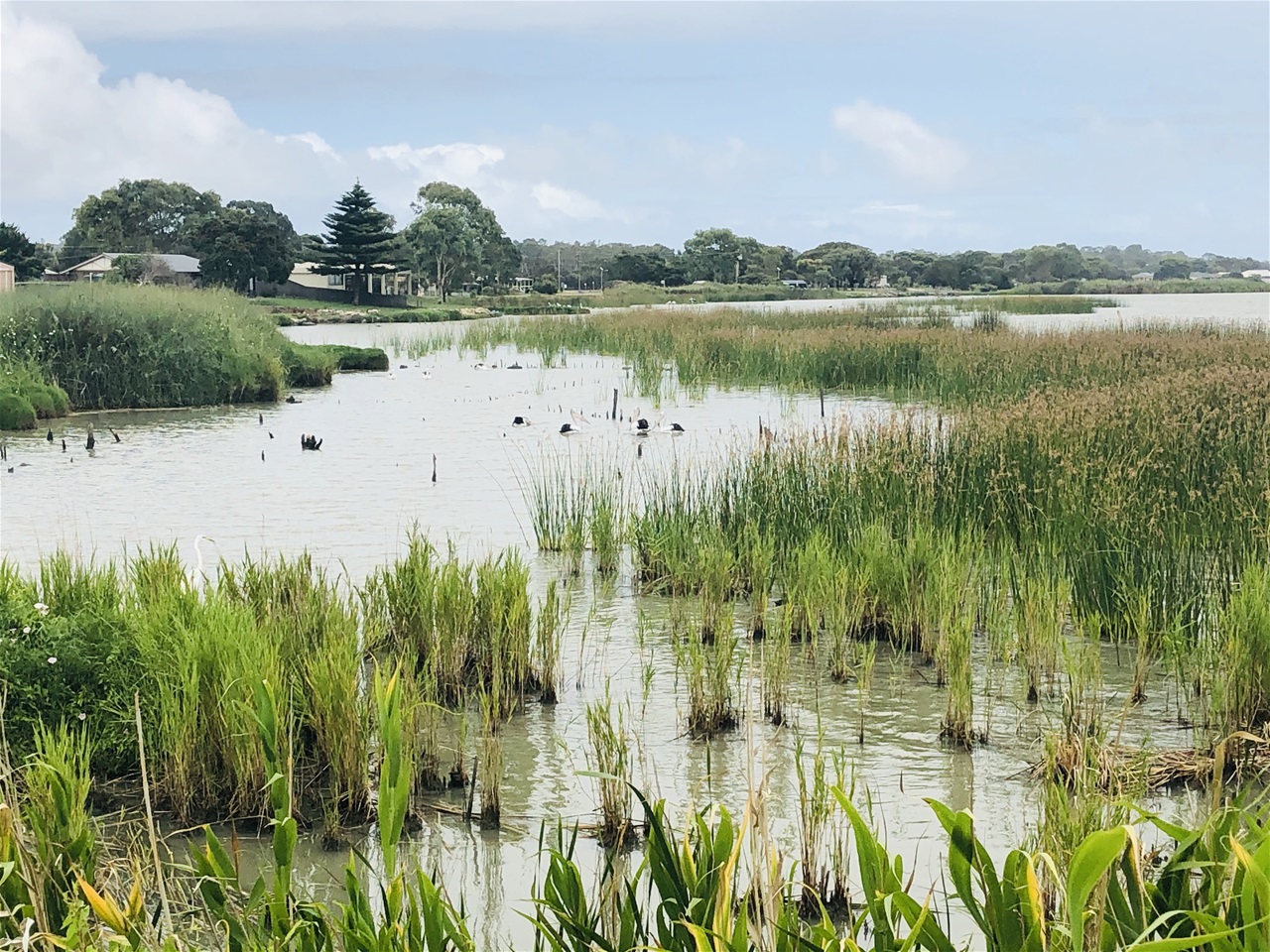
Again, we were attracted by the vast array of Birdlife, which in Meningie can be found in large numbers in the vast wetland ecosystem that consists of sea beaches, freshwater lakes, estuaries, saline lagoons and the Murray River mouth.
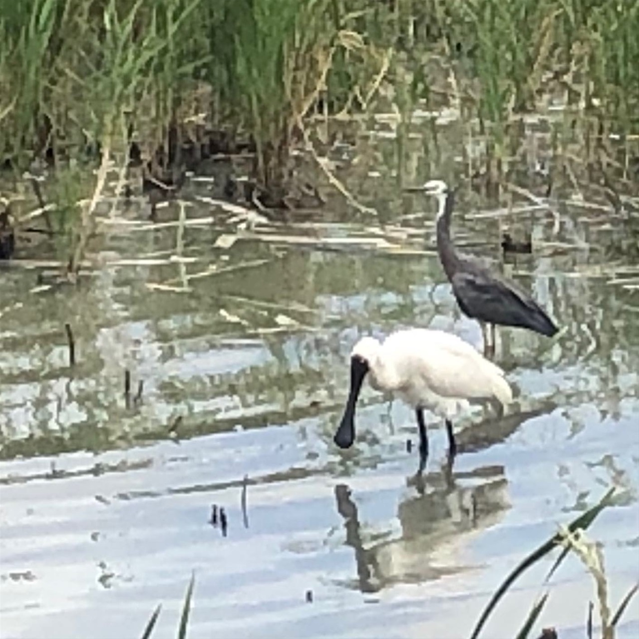
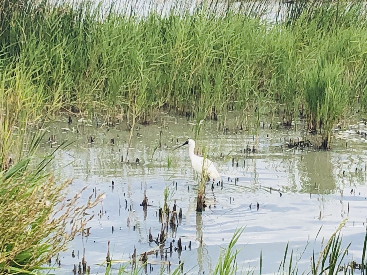
Between us we recognised or identified online: teals, shelducks, sandpipers, spoonbills, banded stilts, pied oystercatchers, red-capped plovers and lots of pelicans.
I had never seen most of these species of bird before. Not in zoos, not in wildlife parks, not even in books in the case of some of them; and yet here we were in Meningie seeing them all in the wild, in their natural habitats. Even David Attenborough couldn't have done better on that afternoon.
Australia really is an incredible country / continent.
If you like wildlife and the great outdoors, Meningie is undoubtedly the perfect place to spend a few days. Sadly we had less than two hours there. Had we been able to stay longer, I would have loved to further investigate the long, narrow lagoon that runs parallel with the coastal dunes for over 140km.
Just when we thought that nothing else we would see that day could be quite as wonderful as the Meningie reserve, an extraordinary natural phenomenon captured our gaze not too long after we resumed our journey to Robe on the Princes Highway..
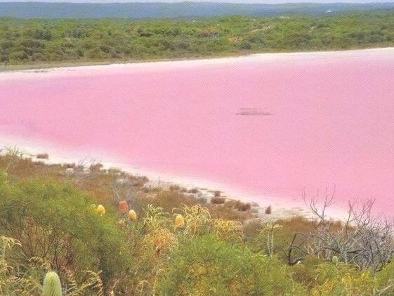
What we saw was what looked like a large pink lake. We couldn't believe our eyes but that's exactly what it was: A Pink Lake.
Apparently we only saw one of several pink salt lakes which can be found in that area of South Australia.
We had seen salt lakes before in Cyprus but never pink ones. The deep pink tinge of this lake was truly extraordinary. I actually thought it was some sort of art installation at first.
I learnt later that its colour was caused by the unusual algae in this particular ecosystem.
Natural bodies of water are always beautiful but you tend to expect them to be various shades of blue or green or grey, so when we saw this large mass of pink out of our car window we really were taken aback and had to get out to investigate it further.
Australia never, ever ceases to amaze you.
Jubilee Park bird chorus
Robe
https://en.m.wikipedia.org/wiki/Robe,_South_Australia
We arrived in the coastal town of Robe at around 6:00 pm. It had been cold and rainy for most of the day but as soon as we arrived in Robe it brightened up considerably.
We decided therefore that we would check into our motel quickly then go for a nice coastal walk to stretch our legs after our long drive and see some of the sights of Robe as well.
We were only doing overnight stays on this road trip expedition so we booked the Guichan Bay Motel as recommended on the justglobetrotting website.
We each had our own rooms with bathroom and makeshift kitchen areas. The rooms were clean enough but certainly not luxury so don't expect 5 star indulgence if you book a room there.
On the plus side, this motel was competitively priced, it was in a convenient, central location, parking was included at no extra cost and WiFi was good which isn't always the case in overnight stay establishments.
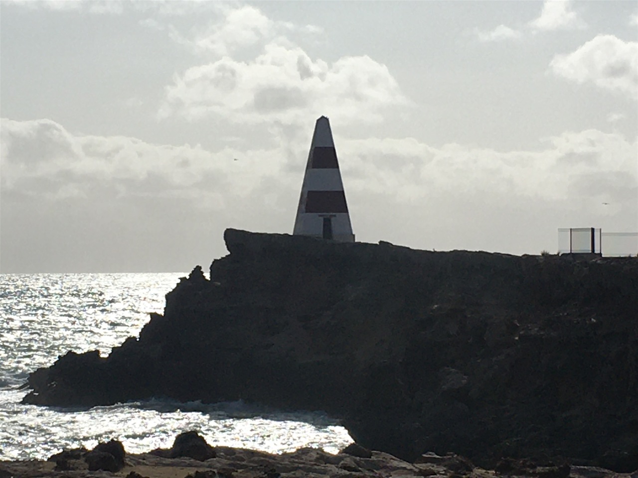
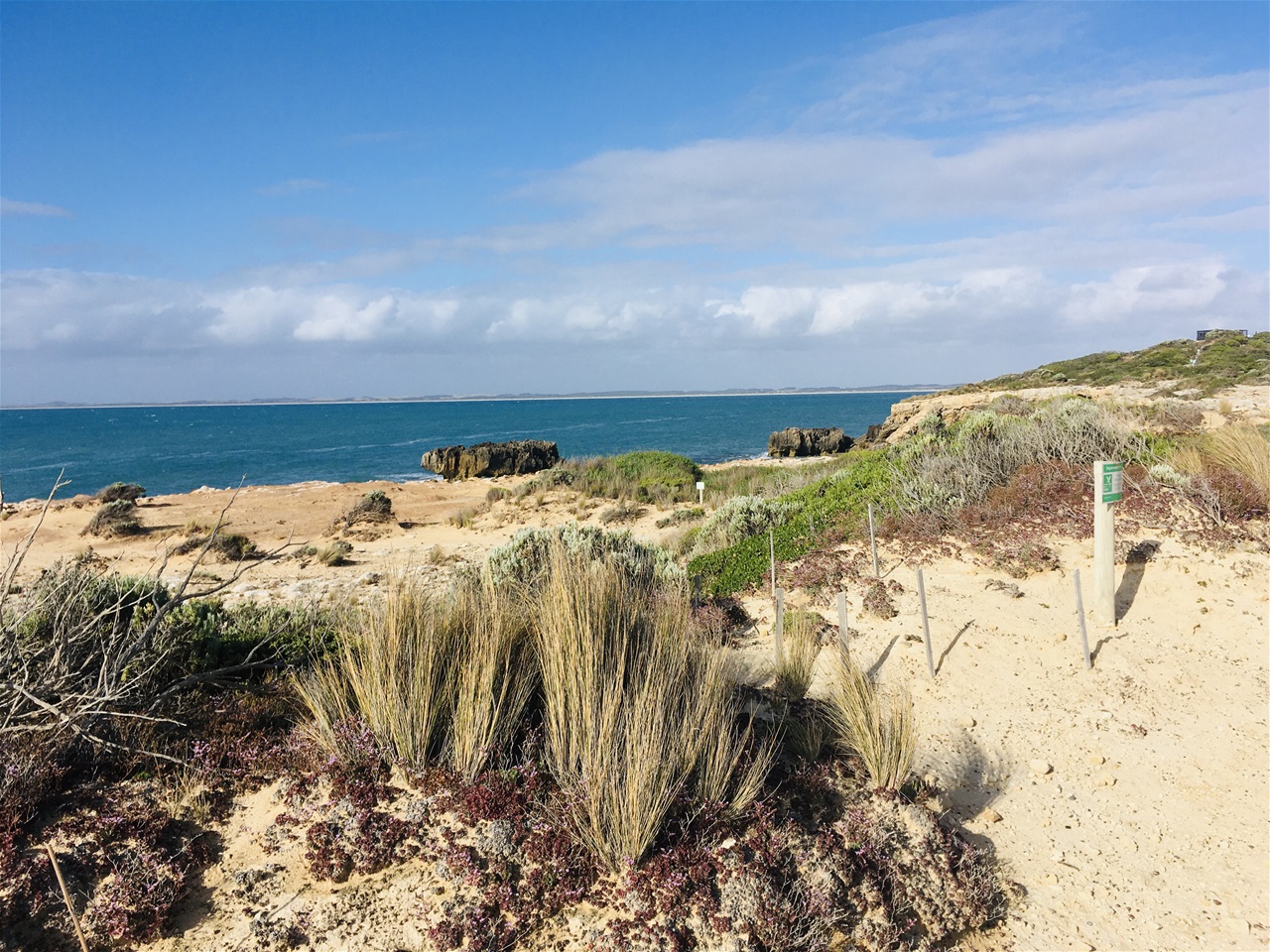
Our sunny evening coastal walk was delightful. We walked to the Cape Dombey Obelisk and back which took us a couple of hours in total as we also spent some time taking in the coastal vistas and breathing in the very fresh sea air. It was lovely.
As stated on: https://www.google.co.uk/amp/s/www.australiantraveller.com/sa/limestone-coast/robe/robe-10-things-to-eat-drink-and-do/amp/
The Cape Dombey Obelisk is an "iconic pyramid-like, red- and white-striped lookout and has been warning ships of Robe’s rocky reefs since 1855". So it is essentially a lighthouse.
"Some 30 vessels were wrecked in Guichen Bay alone in 1953. The town’s 12-metre icon was originally white, but was painted in red bands after complaints that it was too difficult to see".
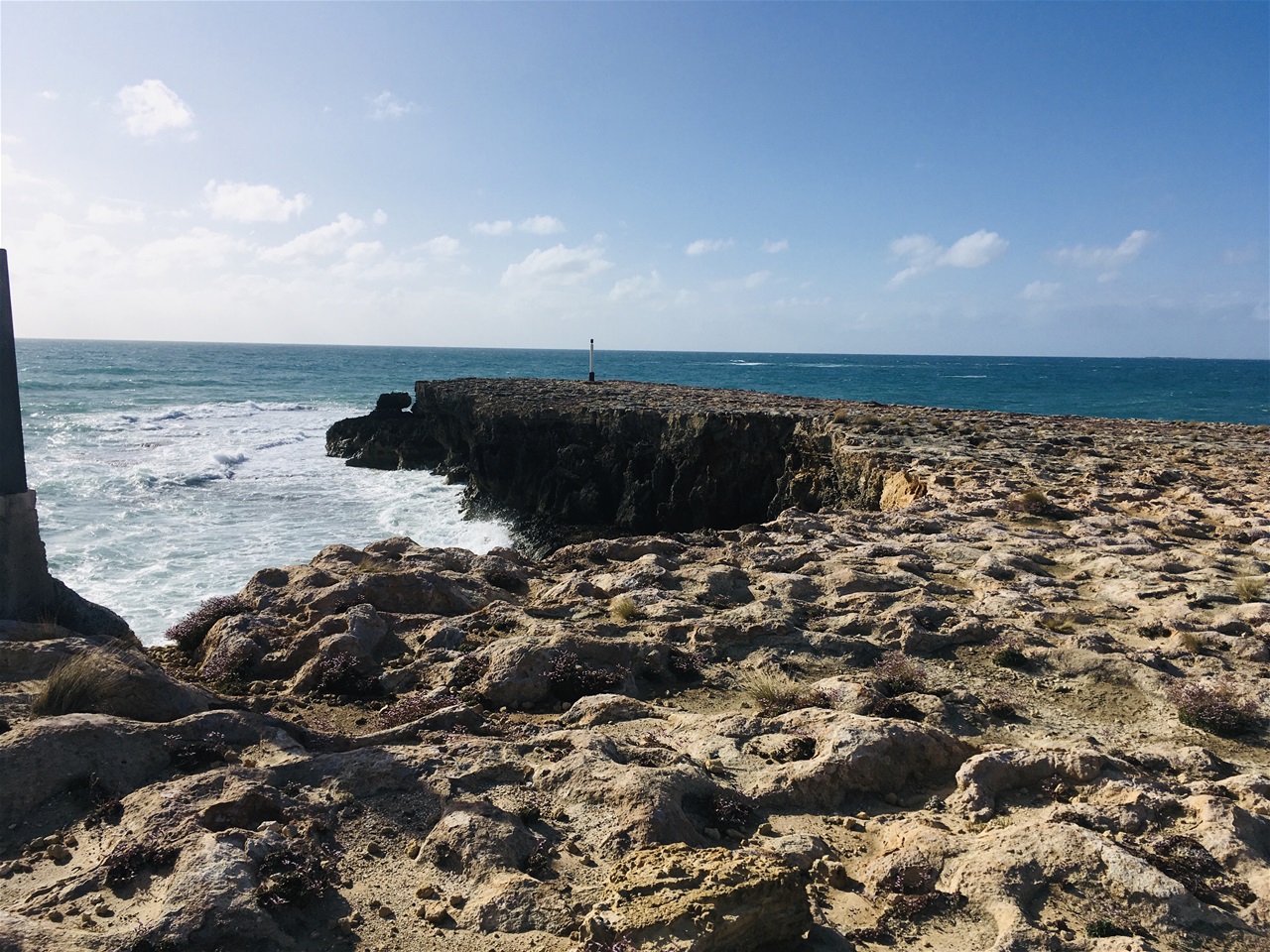
This site also warns that: "The rocky limestone ledge it sits on has been dramatically eroded by wild seas and is expected to crumble into the ocean one day in the not too distant future".
They certainly do not exaggerate that fact. They had fenced off the very eroded sections of the walking trails to the Obelisk so people didn't get to close to the edge but It amazed us how close we were able to go.
"Two of the walking trails around the Obelisk grant spectacular vistas of the limestone ridges and frothing Southern Ocean below". That was definitely worth seeing; those views are mesmerising; we certainly spent a good chunk of time admiring them on that evening.
The Obelisk itself cannot be visited as it is perched on a cliff edge that looks as if it will plunge into the sea at any moment.
It appears that "Robe locals are rather divided over what to do about the obelisk – there’s even a Save the Obelisk Society in town which we would have donated to had we seen a collection point somewhere in town. If anyone from Robe happens to read this then do place Obelisk collection boxes in prominent spots around town as grateful tourists would definitely add to them.
On returning back to the Motel area we went straight to the Caledonian Inn for a Fish and Chip supper. Robe is famous for its lobsters so we shared a lobster starter which was fresh, simply presented and delicious. I highly recommend that.
According to Wikipedia, "Robe, is one of the oldest towns in South Australia and was founded by the colonial government as a seaport, administrative centre and village just ten years after the Province of South Australia was established.
Robe was named after the fourth Governor of South Australia, Major Frederick Robe, who chose the site as a port in 1845.
It became South Australia's second-busiest international port in the 1850s with Port Adelaide being the busiest.
Robe's trade was drawn from a large hinterland that extended into western Victoria, and many roadside inns were built to cater for the bullock teamsters bringing down the wool, including the 'Bush Inn' which still stands on the outskirts of Robe.
Exports included horses and sheep skins and wool.
The Customs House has been listed on the South Australian Heritage Register since 1980.
A stone obelisk was built on Cape Dombey in 1852 to assist ships to navigate safely into the bay.
But despite that there were a number of shipwrecks along the coast in that area.
What we found particularly interesting about the history of Robe is that "during the Victorian gold rushes around 1857, over 16,000 Chinese people landed at Robe to travel overland to the goldfields".
As the state of Victoria had introduced a landing tax of £10 per person (more than the cost of their voyage) specifically to reduce the number of Chinese immigrants coming to Australia, these immigrants then walked the 200 miles (320 km) to Ballarat and Bendigo.
Robe's importance decreased with the advent of railways which did not come to this town at all.
It then developed into a local service centre for the surrounding rural areas. It is still home to a fleet of fishing boats, and the most important being the local lobsters trawlers".
Monday 3 February 2020
Mount Gambier Blue Lake Reserve
https://en.m.wikipedia.org/wiki/Blue_Lake_(South_Australia)
Breakfast wasn't available at the Guichan Bay Motel that morning but we found a bright, airy café a short walk away which doubled up as a bakery so the freshly baked bread and croissants were superb.
After breakfast I perused a few of the boutiques in that same parade as they had extraordinary end of season sales with over 70% off the original price so I bought a summer dress and a couple of tops.
We left Robe at about 10:30 am. Our first stop would be at the Blue Lake Reserve in the town of Mount Gambier which was just under a two hour drive from Robe.
Mount Gambier is known in Australia for its limestone, volcanic landscape and crater lakes.
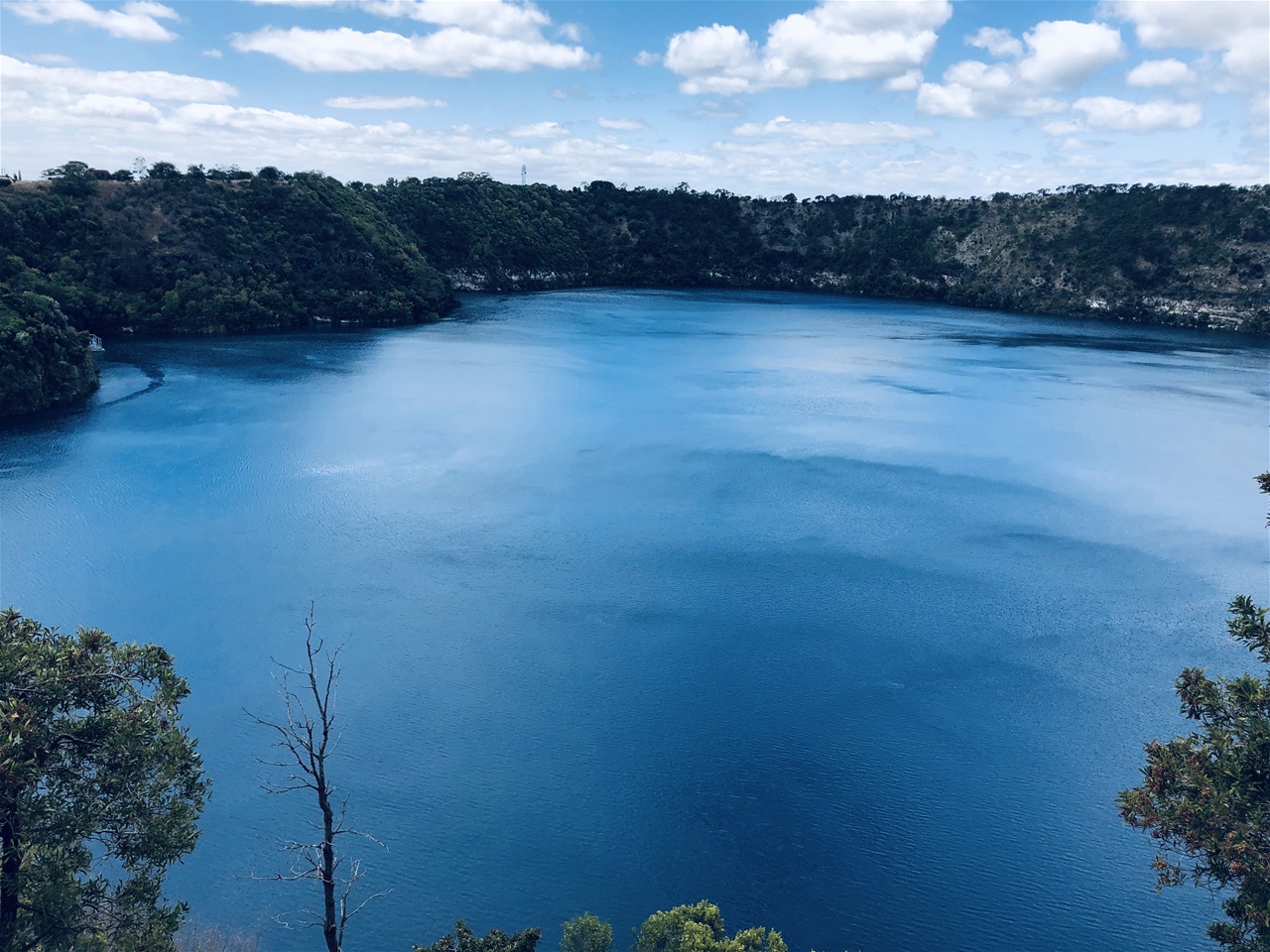
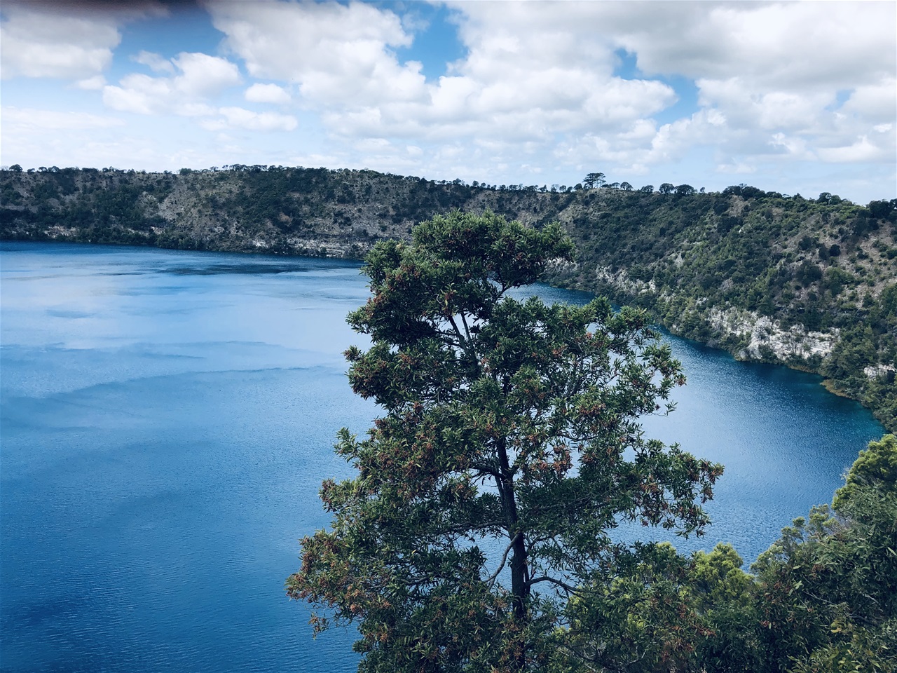
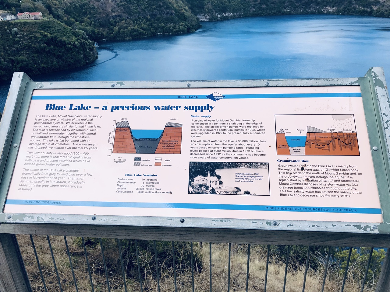
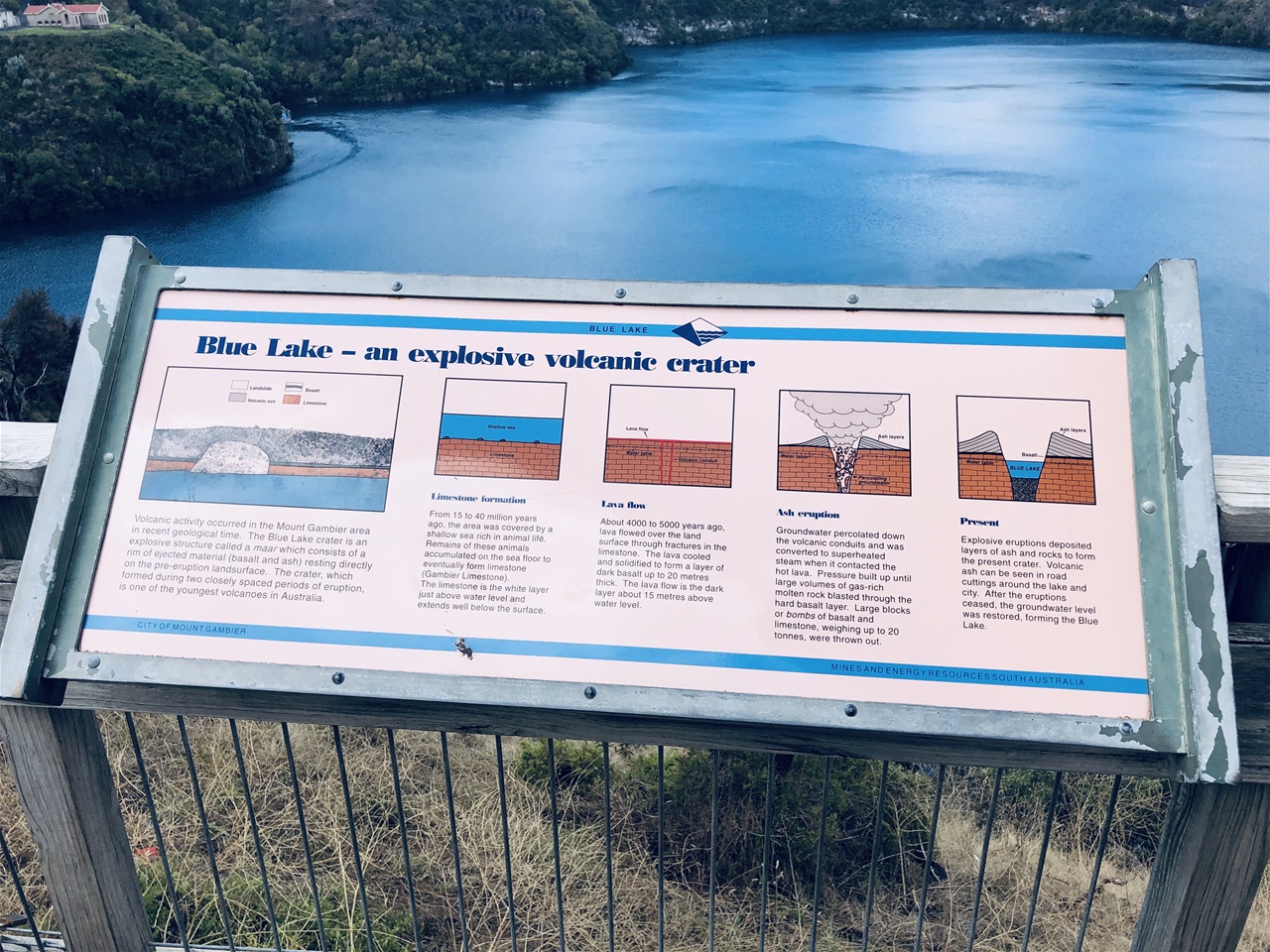
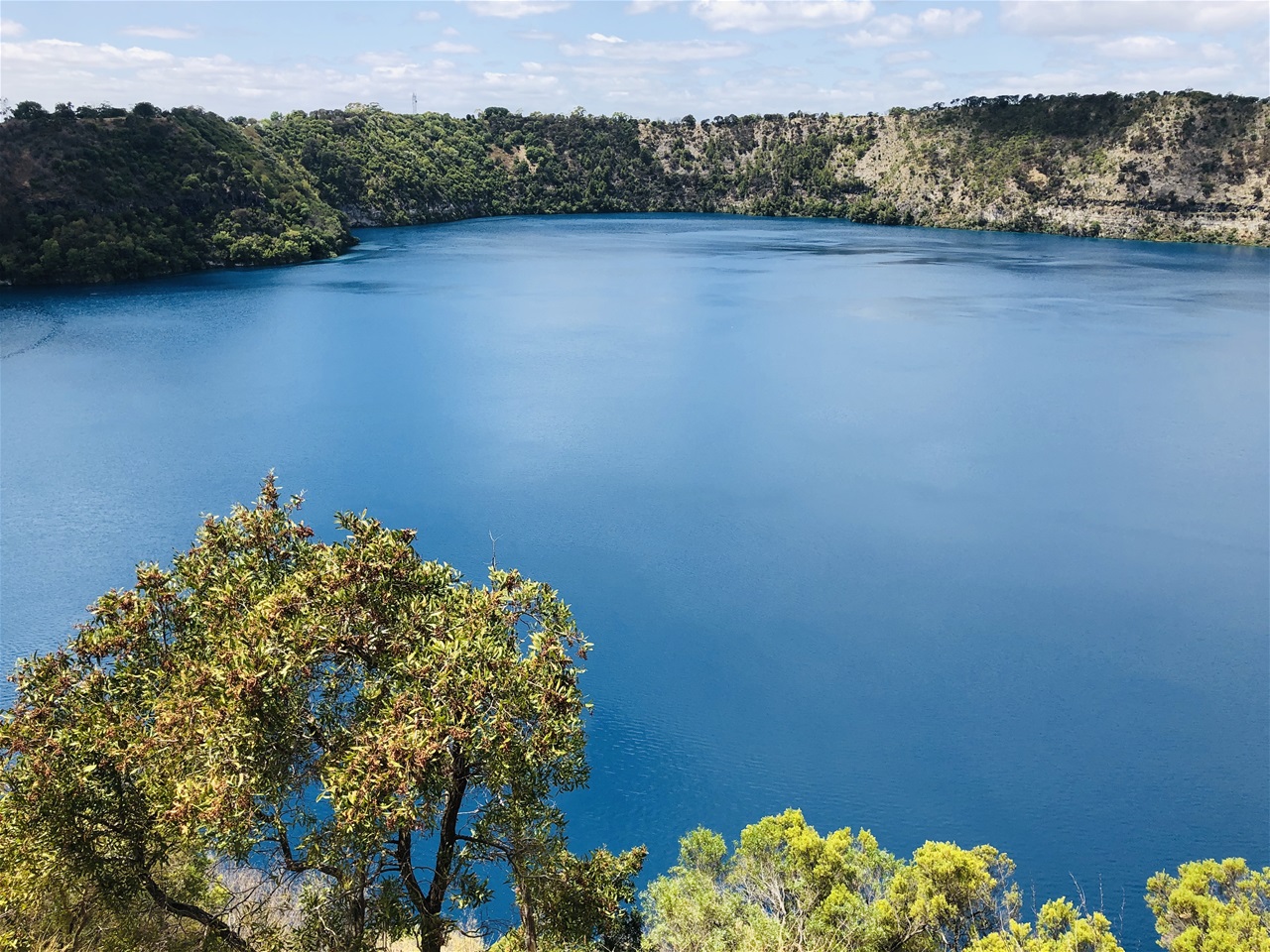
The Blue Lake in Mount Gambier is exactly that: "a large, monomictic, crater lake located in a dormant volcanic maar."
"Conflicting dates have been estimated for the volcano's last eruption; some say it was 4,300 years ago, others believe it was 28,000 years ago, and most recent thinking put it at a little before 6,000 years ago.
If the latter is correct, this could be the most recent volcanic eruption on the Australian mainland.
The Blue Lake is thought to be of an average depth of 72 m (236 ft), but in places reaches 75 m (246 ft).
What is extraordinary about this lake is that from December to March, it transforms into a vibrant cobalt blue colour, returning to a colder steel grey colour from April to November".
We saw it in early February so it really was as intensely blue as we read it would be.
The exact cause of this phenomenon is still a matter of conjecture, but according to Wikipedia "it probably involves the warming of the surface layers of the lake during the summer to around 20 °C (68 °F), causing calcium carbonate to precipitate out of the solution and enabling microcrystallites of calcium carbonate to form.
This process results in a scatter of blue wavelengths of sunlight.
During the winter months, the lake is somewhat murkier due to the redistribution of tannins and calcium carbonate particles throughout the lake.
Solar elevation has also been found to influence the perceived colour of the lake.
The movement of planktonic life forms within the lake during the seasons and during the day may additionally play a part in the colour change".
We were very glad to have travelled to this area of Australia during the summer months and to have seen the brilliant blue colour of this wonderful volcanic lake and the deep pink blush of the salt lake we had chanced upon the day before.
If you do visit these lakes during Australia's winter season, the Blue Lake will be less blue and more grey unfortunately, but seeing an extraordinary volcanic crater lake anywhere, regardless of the colour has to be an experience in itself
As for the Pink Lakes near the Coorong, I read that they aren't always as Pink as when we happened upon one the previous day, but I am not sure if that is a seasonal phenomenon or not.
However, I did see photos online of people who had visited the lakes when they had dried out so although they couldn't see the pink glow we had enjoyed the day before, they were able to walk on the salty white crust of the lakes instead which we certainly could not have done.
The Umpherston Sinkhole
https://www.google.co.uk/amp/s/www.escape.com.au/destinations/australia/south-australia
I had read about sink holes when our daughter first visited this extraordinary place in 2019 so we were very pleased we were able to see it for ourselves.
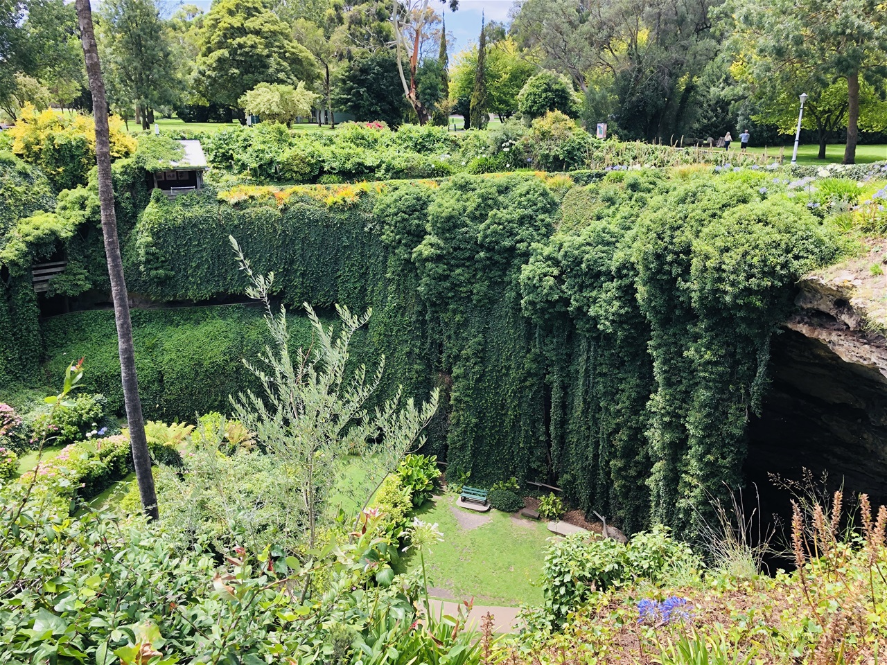
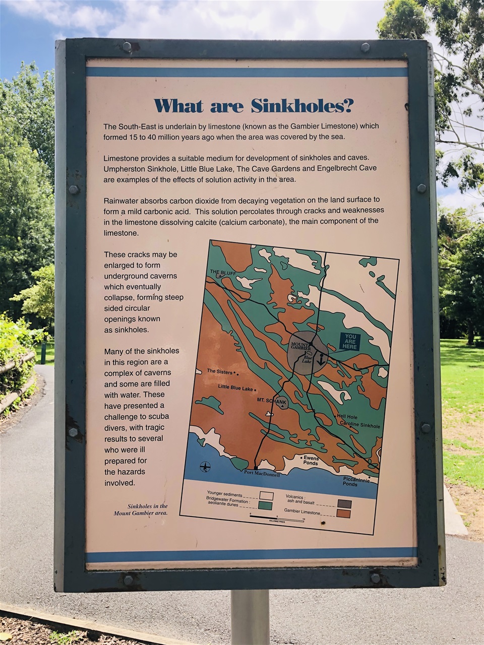
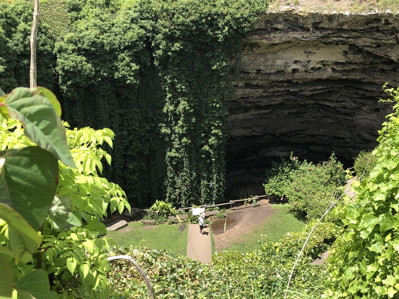
The Umpherston Sinkhole was exactly that : a sunken area of soil that looked like a massive hole in the ground.
It was a geological phenomenon.
According to escape.com.au "it all started about 40 million year ago when the southeast corner of South Australia was under water.
Layers of limestone formed on the seabed, which was eventually thrust out of the ocean, hence the area’s name: the Limestone Coast.
Water erosion over millennia gradually formed subterranean caves in the limestone, which were exposed when the ceilings collapsed (in total the region is home to 800 caves and more than 50 sinkholes)".
Seeing a natural phenomenon of this magnitude anywhere in the world is itself extraordinary but what makes this particular sinkhole truly remarkable is that in 1868, a local farmer James Umpherston purchased the sinkhole as part of a 72 hectare land acquisition project and transformed it into a magnificent sunken garden.
He named it "The Caves - a pleasant resort in the heat of summer”.
Today the sinkhole is owned and managed by the City of Mount Gambier.
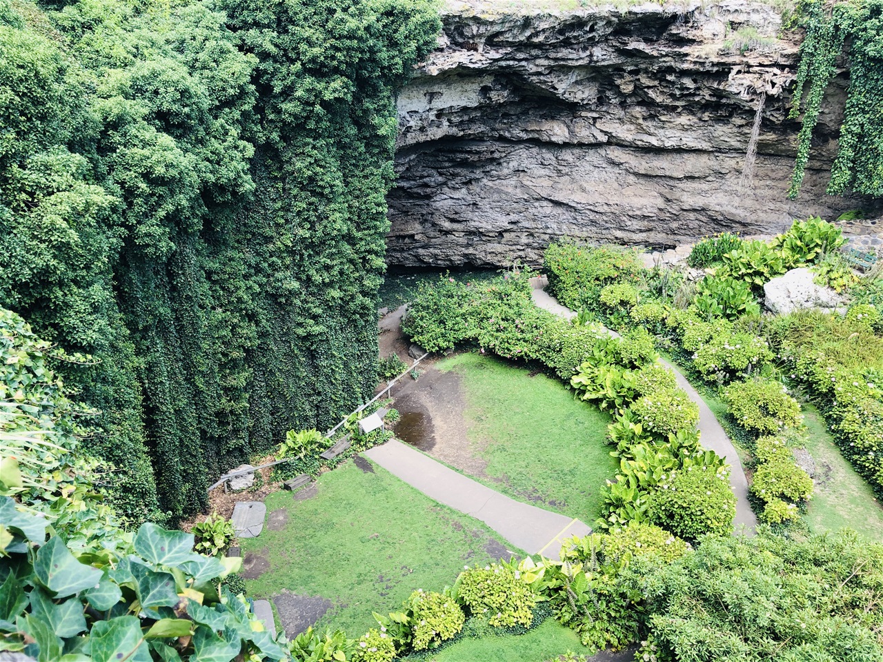
It was such a beautiful thing to see. "The limestone crater – 20m deep and 50m across – is a captivating green utopia in the heart of Mount Gambier.
Curtains of hanging ivy draped from terraced walls and the floor is abloom with native and exotic vegetation, including agapanthus, hydrangeas, ferns and oyster plants".
The waterfall effect of the ivy all around was spectacular. Definitely worth seeing if you are travelling in South Australia at any time of year.
From South Australia to Victoria
We were really sorry to leave Mount Gambier as there was so much more to see there but as we had a three hour drive to Halls Gap we thought we should set off sooner rather than later as we definitely didn't want to negotiate hill driving into the Grampian mountain range in the dark.
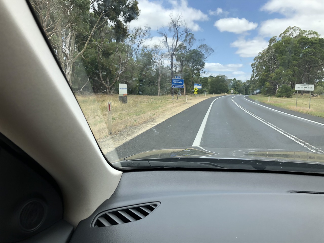
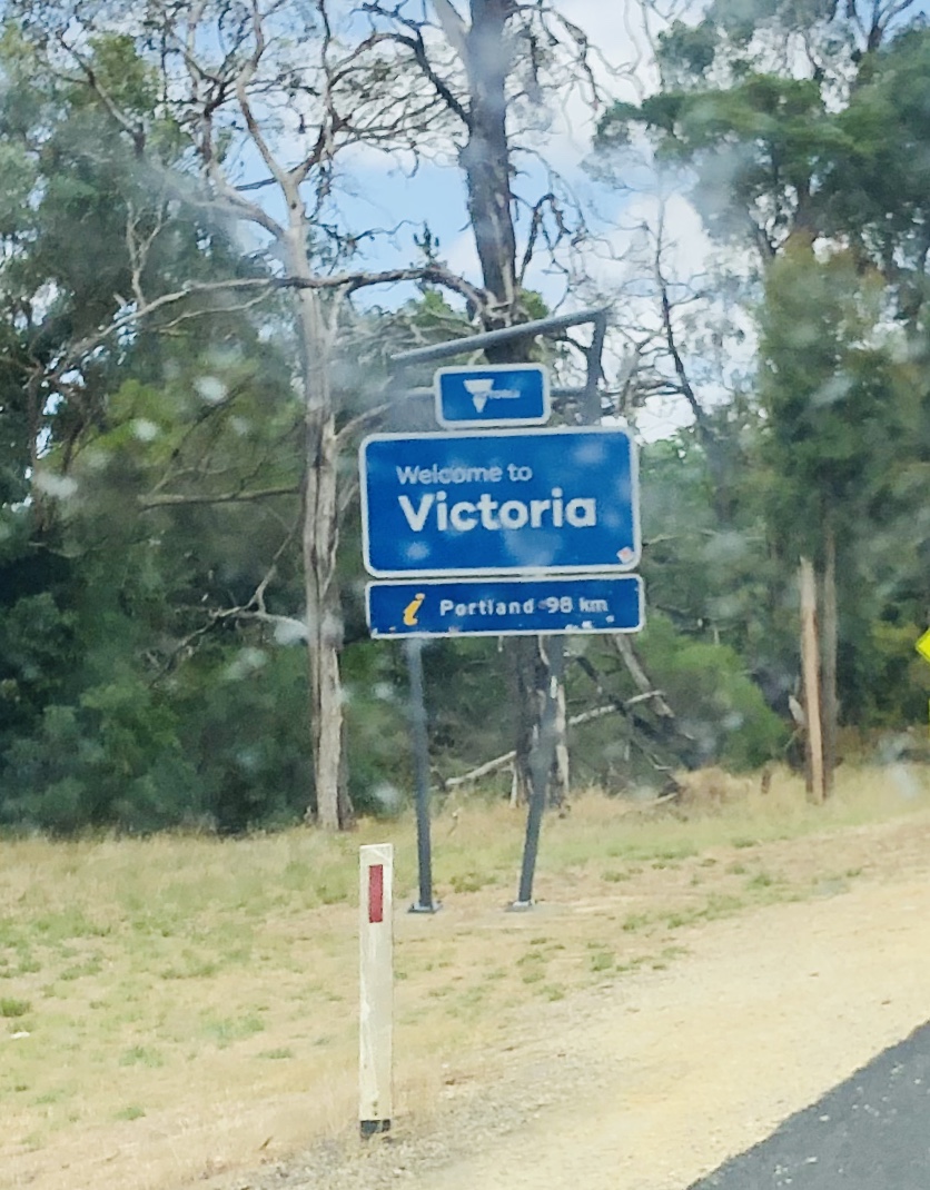
It wasn't long after we left Mount Gambier that we crossed from South Australia into Victoria and just over an hour after that we caught a glimpse of Dunkeld in the Glorious Grampians.
Our time in South Australia had been wonderful but as usual we were sad to leave as we felt we had just begun to really explore all that this wonderful state had to offer.
We had enjoyed our time in Adelaide in spite of experiencing the highest temperatures that any of us had ever lived through before.
We had loved our evening with our friends in Glenelg and sampling their delicious aquaponic produce.
Our wine tastings in beautiful Barossa could not have been better. And we still had quite a few bottles to drink before our flight to Tasmania the following week.
We had cherished our brief interludes in Meningie, at the Pink Lake and in Mount Gambier, with its dazzling Umpherston sinkhole and its glorious Blue Lake.
Our only regret was not being able to visit Kangaroo Island which we were originally planning to do but when it closed its borders to tourists from early January due to the devastation caused by wildfires, we decided to go to the Grampians instead.
We do occasionally still regret having missed the opportunity to go and assist with the rehabilitation of injured animals on Kangaroo island which would have been an extraordinary 'once in a lifetime' experience but when you are travelling you do sometimes need to make on the spot decisions which you believe are the right ones at that time for all parties involved which is exactly what we did.
You really cannot do it all even though when you are there you often really do believe you can.
Victoria's GLORIOUS GRAMPIANS
https://www.australia.com/en-in/places/melbourne-and-surrounds/guide-to-the-grampians.html
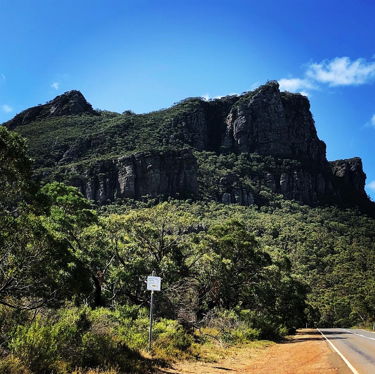
"The Grampians are a majestic mountain range and forest rising out of flat farmland in Victoria's west.
The region's national parks are home to a huge array of native plants and animals, adventure and a rich and continuing Aboriginal history.
The Grampians National Park is home to an incredible mountain landscape dotted with small towns such as Dunkeld, Stawell, Halls Gap, Wartook Valley and Beaufort.
We were heading for Halls Gap which I can honestly was one of my favourite experiences in our entire time in Australia.
There is so much to see and do in the Grampians that I wouldn't know where to start. But as is written on the www.australia.com website:
"Interwoven with Aboriginal history these awe-inspiring landscapes were forged millions of years ago.
Trek the rugged cliffs and cascading waterfalls of Grampians National Park.
Go fishing or canoeing on Lake Bellfield and Lake Wartook and get up close to native animals such as koalas, kangaroos, emus and wedge-tailed eagles.
Travel to Mount Arapiles-Tooan State Park, where you can scale dramatic rock formations.
A little further afield is Little Desert National Park, where heathlands throw vibrant wildflower displays from August to October.
Explore the Grampians' vast sandstone mountains in a 4WD or experience their grandeur from a light aircraft with A Kube Aviation".
These are just a few of the suggested activities attributed to this wonderful and little known area of this amazing continent.
If I am fortunate enough to travel to Australia again, I shall definitely book a proper holiday in the Glorious, Glorious Grampians.
As it was we had very little time there but we had perfect weather and we enjoyed every precious moment
Lake Bellfield
https://hallsgaplakeside.com/explore-lakeside/lake-bellfield/
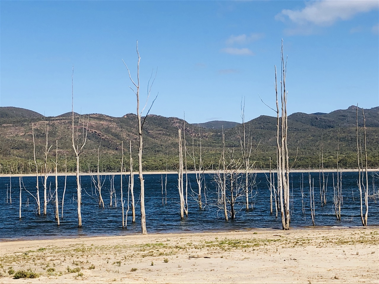
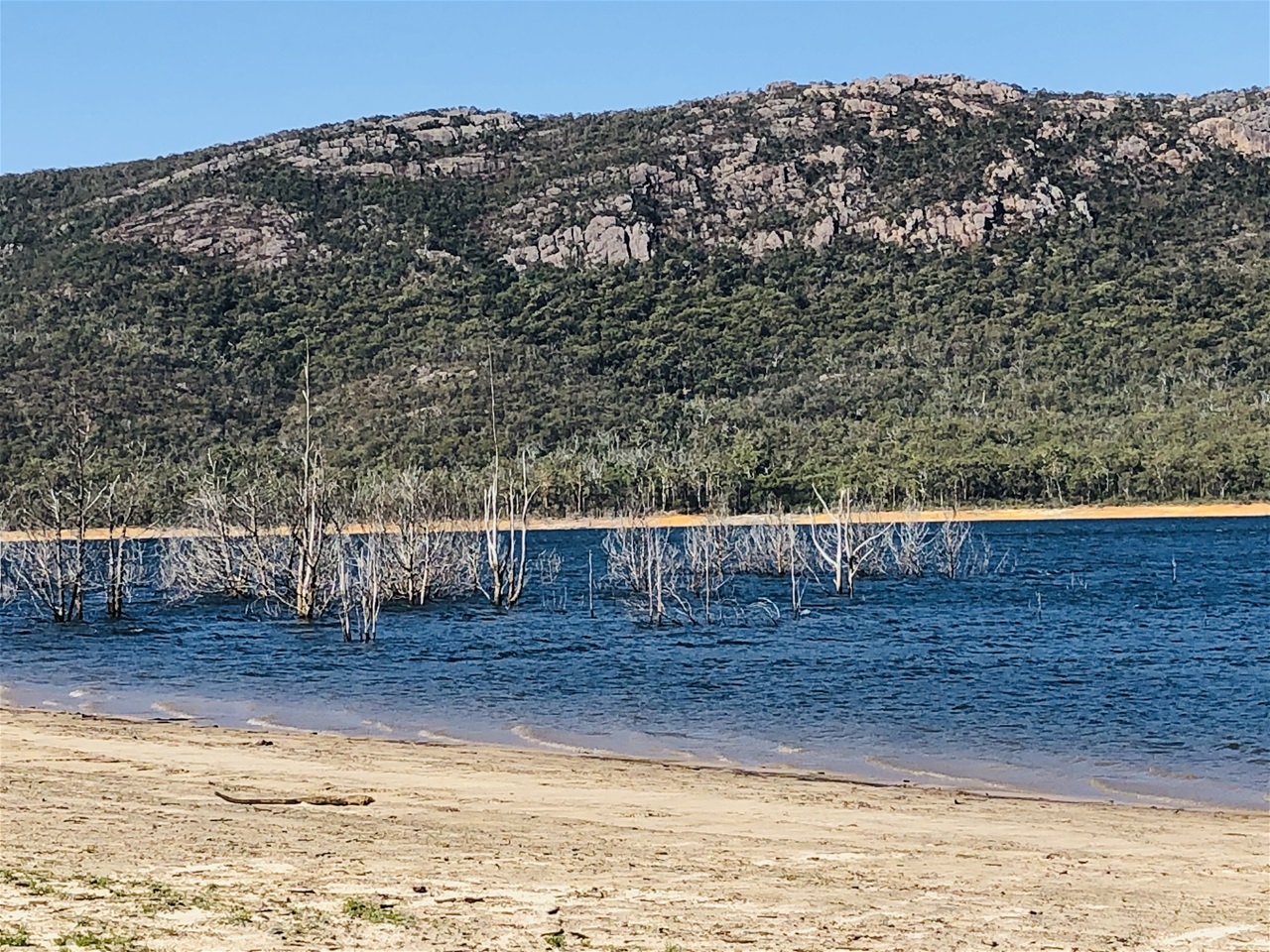
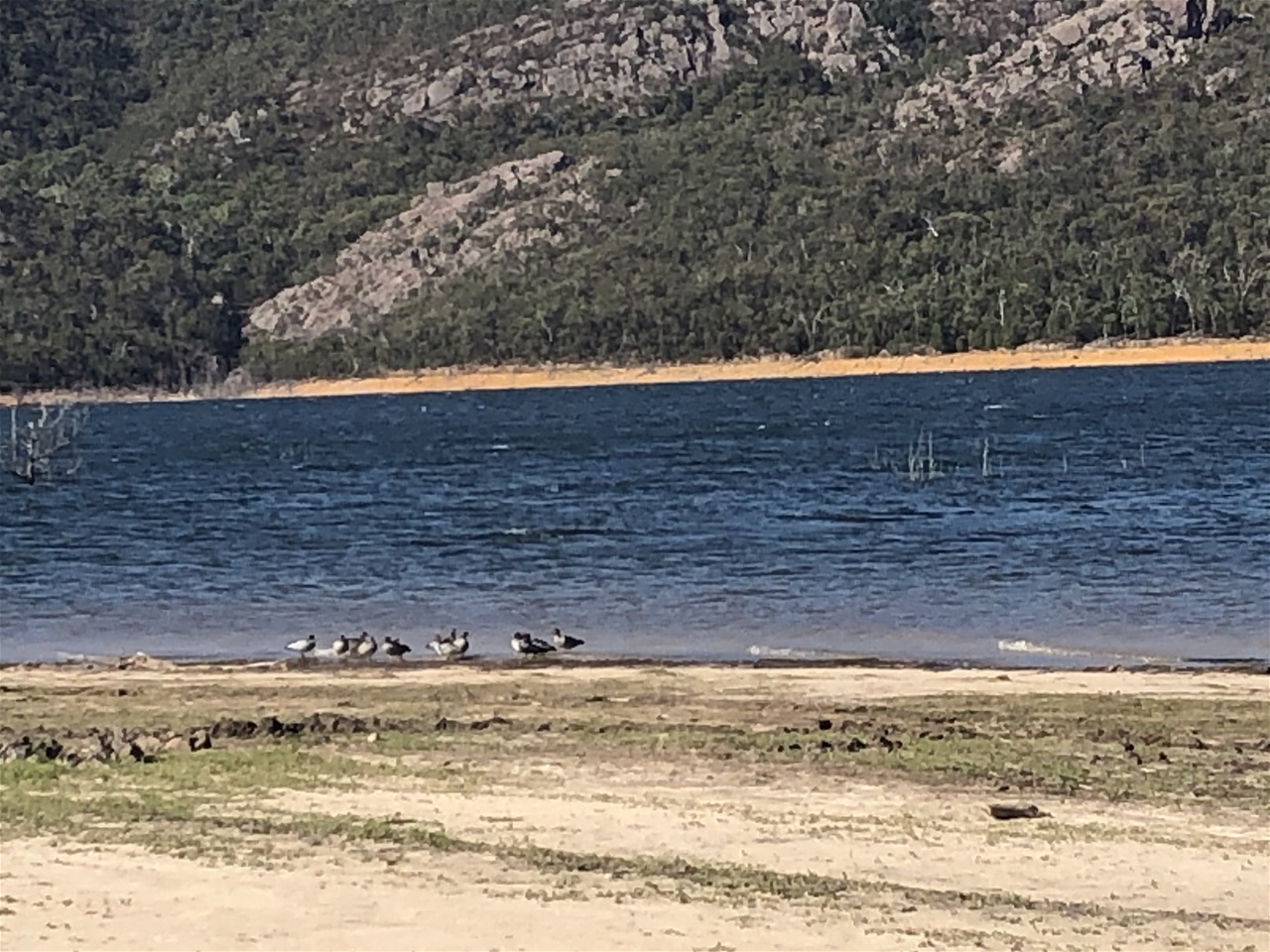
Just before reaching our Halls Gap turn off we arrived at what looked like another unusual body of water on our right. After our Pink Lake and Blue Lake experiences, we did not hesitate to stop, park the car and go and explore.
What made this lake unusual was the fact that trees appeared to be growing in it; not just along the outer banks of the lake but actually inside the middle section of it. On closer inspection we discovered that these were dead tree stumps but how they got there baffled us.
The hallsgaplakeside.com website explains that:
"What started as water storage for local residences and farmers in the early sixties has turned into the source of the largest water infrastructure in Australia…".
So does this mean that this was originally a forest which was then made into a reservoir while the trees were still growing within it?
The site continues:
"The Wimmera Mallee pipeline project opened in April 2010.
The 9,000 km long pipeline saves around 103 billion litres of water a year and provide a continuous water supply to approximately 9,000 farms and 34 townships across the Wimmera and Mallee".
"The dam wall offers a fabulous “after dinner walk” with its flat surface of approx. 800 meters long and stunning views.
During the warmer summer season, the lake is often used for recreational activities such as fishing, canoeing and swimming".
I suppose our speculation on why those trees were there was accurate based on what was stated here.
As for the swimming, you would have to be pretty brave as the water is freezing and we there on a warm day in summer.
